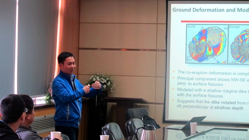
Invited by State Key Laboratory of Geodesy and Earth`s Dynamics (SKLGED), Dr Xu Wenbin from The Hong Kong Polytechnic University visited Institute of Geodesy and Geophysics(IGG) and gave an academic report named ”Satellite radar and optical remote sensing studies of volcanoes in the divergent plate boundary” on Apirl 11.
The report introduced that we can get information about flow path of volcanic rocks, coverage of volcanic rocks, covering thickness of volcanic rocks, the amount of volcanic rocks in the process of volcanic eruption by optical remote sensing and satellite radar data process and analysis. He showed a case study of the Red Sea between the northeast Africa and Arabia Peninsula, and his report focused on the Red Sea and its surrounding volcanic eruption. After the report, the audiences had a deep discussion with Dr Xu about Radar interferometry and InSAR data processing.
Dr Xu is mainly engaged in research on surface deformation caused by geophysical and human factors by Radar interferometry, such as earthquakes, volcanoes, and surface subsidence. He also interested in InSAR time series analysis and InSAR atmospheric correction. He obtained his master degree in photogrammetry and remote sensing, Central South University in 2011, and then he obtained his doctorate in Earth Science from King's Abdullah University, Saudi Arabia in 2015. In 2016, he engaged in postdoctoral research at the University of California at Berkeley.


