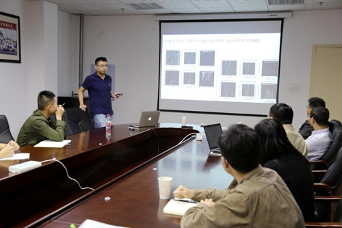
Invited by State Key Laboratory of Geodesy and Earth`s Dynamics (SKLGED), researcher Wang Teng from Nanyang Technological University visited Institute of Geodesy and Geophysics(IGG) and gave an academic report named “Measuring surface displacement from the space: Synthetic Aperture Radar (SAR) imagery and applications in earth science” on April 17.
The report firstly introduced a large number of Synthetic Aperture Radar (SAR) images obtained from 1990s and SAR images were used to obtain high resolution surface displacements. Then he focused on the inversion of the geophysical models of various seismic rupture and volcanic eruptions constrained by SAR images. He introduced the surface deformation and the inversion of geophysical model by Synthetic Aperture Radar (SAR) data in detail, taking the Iceland volcano in 2010, the Nepal earthquake in 2015 and the New Zealand earthquake in 2016 as an example. The audiences had a deep discussion with research Wang about related questions at the end of the report.
Research Wang is mainly engaged in Synthetic Aperture Radar interferometry and Pixel Offset Method and its Application. He also achieved high resolution deformation measurement in the plate tectonics, earthquake, volcano and other fields.


